Officials: Time to prepare in Northeast Florida as Hurricane Irma becomes category 5 storm
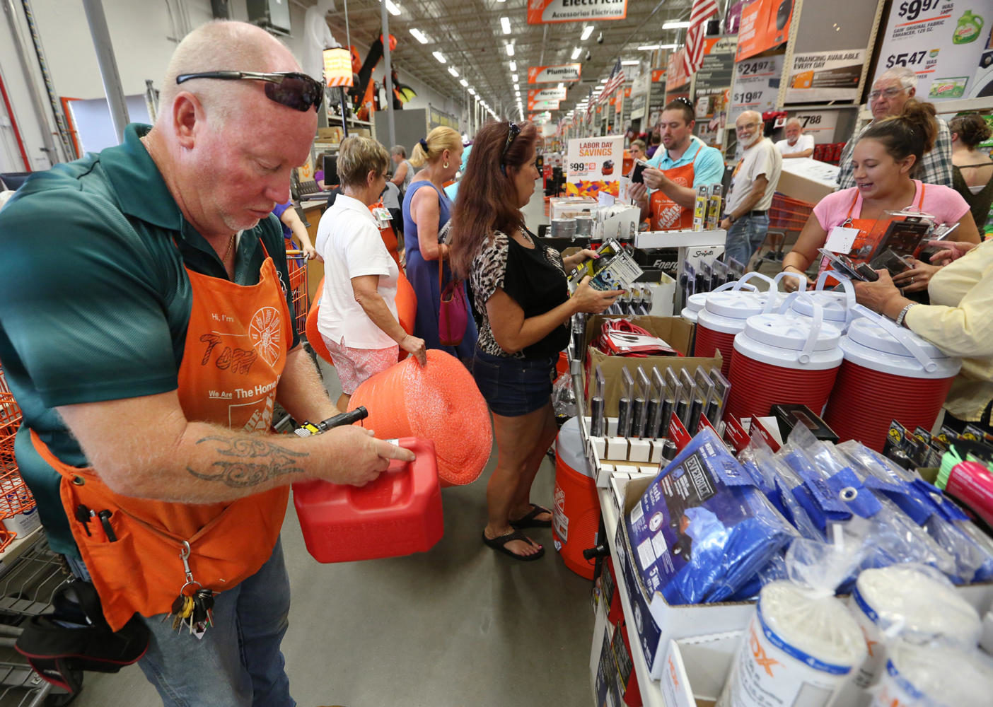
Tom Kepner, left, stocks gas containers as shoppers buy hurricane items at The Home Depot in Lady Lake on Tuesday afternoon, Sept. 5, 2017. Buyers are preparing for Hurricane Irma. The store was out of generators and water early Tuesday. (Stephen M. Dowell/Orlando Sentinel/TNS)
September 5, 2017
It’s too early to predict what type of impact Hurricane Irma may have on the Jacksonville area as the storm continues to strengthen in the Atlantic Ocean, but authorities are encouraging residents to start preparing now that it’s scheduled to make landfall within a week.
Gov. Rick Scott declared a state of emergency Monday in all 67 counties in Florida to be sure local governments have enough time to get plans in order.
Irma, now a category 5 storm, was about 365 miles east of Antigua and 370 miles east-southeast of Barbuda as of 8 a.m. Tuesday, according to the National Hurricane Center. It had maximum sustained winds of 180 mph and was moving west at 14 mph. The hurricane was expected to continue on its path west into Tuesday morning.
Advertisement
“Hurricane Irma is a major and life-threatening storm, and Florida must be prepared,” Scott said.
Residents in Northeast Florida are encouraged to gather supplies in case the area is hit by severe weather.
Scott said the best way to protect loved ones in a storm is to have a plan ahead of time.
The American Red Cross suggests an emergency preparedness kit including the following items: one gallon of water per person, per day; nonperishable food with a manual can opener; a battery-powered or hand-crank radio and flashlight with extra batteries; a first aid kit; a supply of any needed medications; copies of important documents; cash; personal hygiene items; one blanket or sleeping bag per person; pet supplies; and a map of the area.
People who live near the ocean, Intracoastal Waterway or along the St. Johns River should already have an evacuation plan in place, said Phil Peterson, a spokesman for the National Weather Service in Jacksonville.
“Right now it’s very early, and it’s still well south, so we have plenty of time to watch it,” Peterson said.
But he said there is a high potential for heavy winds and rain in the area, with the most severe weather set to arrive by Monday.
Advertisement*
Peterson said coastal flooding could be the biggest threat in Northeast Florida, so people in the area should continue to look for updates as the storm gets closer.
___
(c)2017 The Florida Times-Union (Jacksonville, Fla.)
Visit The Florida Times-Union (Jacksonville, Fla.) at www.jacksonville.com
Distributed by Tribune Content Agency, LLC.
Advertisement


