

An early spring storm swept through the southern Illinois area late in the evening on Friday, March 14, carrying over into the early hours of Saturday. The storm brought a mix of severe thunderstorms, tornadoes and hail. Two tornadoes were reported to have touched down in the area, impacting southern Illinois towns.
The National Weather Service Paducah released a preliminary summary throughout the weekend of the severe weather that occurred over the weekend. The report, ranging from Missouri to Indiana, included several southern Illinois towns that saw damage from the storm.
Advertisement

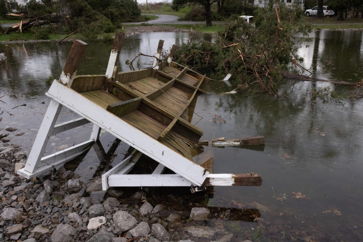
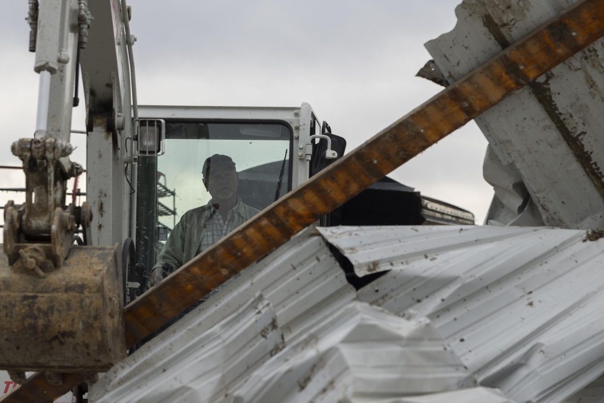
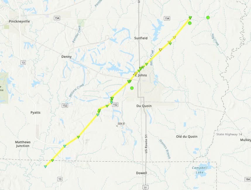
An EF2 tornado touched down near the Perry/Jackson county line before it traveled 13.4 miles northeast through Perry County at 12:10 a.m. Saturday morning. The storm passed through parts of Du Quoin but was mostly concentrated just north of the town in St. Johns, a small village of less than 200 residents. The tornado lasted around 13 minutes and had peak winds recorded at 135 mph. According to the Perry County Emergency Management Agency, over 70 residential structures experienced some level of damage, five residential structures were destroyed and numerous commercial buildings sustained major damage. No injuries or deaths were reported.
Following the tornado in Perry County, a second EF2 tornado was reported in Johnson County at approximately 1:15 a.m. on Saturday. This storm traveled around 15 miles from Vienna, Illinois northeast through the Bloomfield area where it ended near Ozark, Illinois. Damage to the area consisted of trailers, power lines and numerous trees. No injuries or deaths have been reported according to the NWS.
Hail measured at 1.25 in was reported in Harrisburg, Illinois according to the NWS.
Advertisement*
Advertisement